Is Drone Technology the
Next Big Thing?
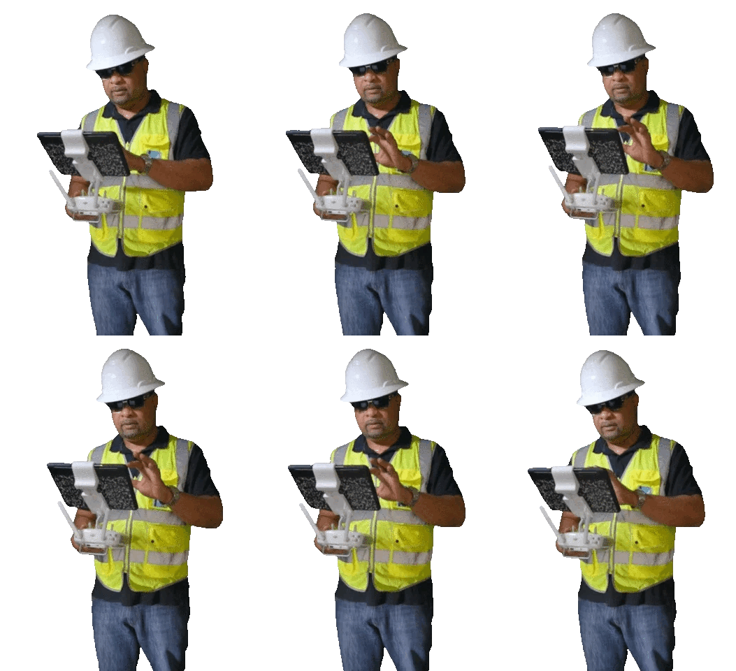
Green industry professionals are increasingly adopting drone technology to assist with irrigation and landscaping projects.
Also known as UAVs (unmanned aerial vehicles), drones are used commercially for landscape photography, videography, design, and site inspection. When paired with a remote control and two-way communication, they’re commonly referred to as an unmanned aerial system, or UAS.
Lightweight and rotor-equipped, drones are highly maneuverable and can be operated via remote control or smartphone. Most can fly for 30 minutes to an hour on a single charge, capturing detailed images for a fraction of the cost of other options — one reason the United States Golf Association (USGA) has been utilizing drones since 2015.
Aerial (Ad)Vantage Point
Drones provide landscaping professionals with a bird’s eye view of an entire job site, allowing them to collect aerial images and videos in real time. With these images, landscapers can quickly survey a job site, assess site safety, and monitor the effectiveness of irrigation systems.
 Peer Review
Irrigation and landscaping contractors who have successfully incorporated drone technology into their business model are quick to recommend it. Here’s what some of them have said:
“We draw [a landscape design] as though we’re seeing it from space, but before drones, we were never actually looking at the projects that way. The drone gives us a whole new perspective during the design phase and throughout its construction as well.” — Scott Cohen, owner of The Green Scene Landscaping, Chatsworth, California
“We have incorporated drones into our inspection routines. The drones are the size of a small laptop with a lens that can read if an area is too dry or too wet.” — Loren McIrvin, owner of Allied Landscape, San Francisco, California
“The [drone] imagery allows us to see patterns and identify irrigation issues we might otherwise have missed – that helps us save water and maintain better playing conditions.” — USGA Golf Course Superintendent Kevin Breen, Los Gatos, California
The current aircraft of choice for landscape and irrigation professionals is a four-rotor drone called a quadcopter. This drone is capable of covering as much as 75 acres, flying for up to 25 minutes per battery charge, depending on weather conditions.
When equipped with specialized cameras, some UAVs can analyze nitrogen management and soil compaction, assess plant health, and detect drought stress. They can also capture stunning footage of completed projects for promotional purposes.
Intelligent Design
UAV technology has also proven extremely useful as a design tool.
Drones enable landscape designers to create immersive “virtual tours” to help their clients make informed decisions. Instead of working from a traditional plot view, landscape architects can create a three-dimensional model from the geographical data (such as site terrain and natural features) collected by the UAV.
Drones can also collect data on climatic conditions and microclimates, allowing designers to incorporate environmental factors in their landscape elements. For instance, drones can help determine the optimal location of green space according to sunlight exposure and wind conditions.
Lastly, the drone-collected data can be shared with other personnel to quickly identify any problems for maintenance and design improvement purposes.
Rules for Drone Usage
Every drone weighing more than 0.55 pounds (about 0.249 kilograms) but less than 55 pounds (24.9 kilograms) must be registered with the Federal Aviation Administration (FAA). Failure to register may result in civil and criminal penalties.
Once registered, the drone owner will receive a Certificate of Aircraft Registration/Proof of Ownership with a unique identification number.
If you use a drone for business, you are using a drone for profit. Drones flown for commercial purposes must be specifically authorized by the FAA. In addition to registering the drone, you must also obtain an operator’s license from the FAA. There are many drone pilot license courses available online to help you pass the exam.
FAA authorization may be obtained in three ways:
- Following the requirements in the Small UAS rule,
- Following the rules in a Section 44807 grant of exemption, or
- Obtaining an FAA airworthiness certificate for the aircraft.
–Article Continues Below–

Many other FAA regulations apply to general UAV operations, such as:
- You may not fly your drone above 400 feet.
- You may not fly in a manner that interferes with operations and traffic patterns at any airport or heliport.
- You must be authorized to fly between the hours of sunset and sunrise.
- Your drone must remain within the sight of the operator at all times.
- You must obtain the owner’s consent before flying over private property.
For a complete list of all FAA drone usage regulations, check out Small UAS Rule Part 107. [A new FAA rule (Part 108), aimed at expanding drone operations across all industries, is expected to be finalized sometime this year.]
Proper drone operation is more complicated than it first appears. You can avoid any potential headaches by retaining a professional drone pilot. Alternatively, many professional agencies offer pilot training.
Stiff Penalties
The FAA does not take drone violations lightly. The FAA Reauthorization Act of 2024 allows the agency to impose fines of up to $75,000 per violation for drone operators who conduct unsafe or unauthorized operations. In addition, the FAA can suspend or revoke the pilot’s certificate for any offenders.
The Wild Blue Yonder
As always, the future of irrigation and landscaping is inextricably linked with advances in technology. Drones are one of the most visible examples of this evolution – perhaps one worth considering in your 2025 business plan.
Sources:
Featured Image: Adobe, License Granted
Total Landscape Care
Identified Tech
Lawn & Landscape
FAA
Drone Pilot Ground School


